Every adventurous niece should have an uncle like Erick. Our niece, Lorrie who lives in Texas, came to visit us here in California. Months ago she had asked Erick to accompany her on hikes to the highest points in California and nearby Nevada, and he agreed.
They returned yesterday from a week during which they hiked up Mt. Whitney, the 2nd highest point in the US at 14,508 ft above sea level, and Boundary Peak, the 9th highest at 13,147 ft. (More on US high points here:
https://en.wikipedia.org/wiki/List_of_U.S._states_by_elevation)
They were lucky in many ways: On the way to Mt. Whitney, there was space at Yosemite's Tuolumne Meadows for an overnight stay in a large tent with cots, and they had dinner at the lodge with other hikers. They were able to get a permit for Mt. Whitney that allowed them to make the hike over 3 days (Tuesday - Thursday) with overnight camping. After staying in Bishop, CA for a day of rest, they found a bed & breakfast in Dyer, NV whose owner made room for them even though the place was fully booked for the weekend. Last, but not least, they survived the one-day Boundary Peak hike which was more challenging than Mt. Whitney even though it's at a lower altitude.
Most of the photos here were taken with Lorrie's iPhone; some with Erick's Android. Click on a photo to see a larger version.
Mt. Whitney in California:
 |
| At the start |
 |
| This area in the lowest of 3 climate zones is sometimes very wet |
 |
| Resting by a small lake |
 |
| Overnight camping spot |
 |
Trail Crest at 13,000+ ft
Checked the weather and decided to go for the summit. |
 |
Views on the way to the summit |
 |
Summit and shelter building in sight
Note the hiker at the summit, up and to the left of Erick |
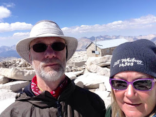 |
| The summit selfie |
 |
| Erick and Lorrie standing at the highest point |
 |
| Signing the register |
 |
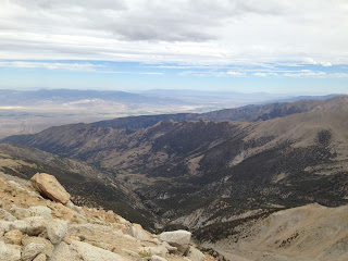
| View from the summit |
 |
| On the way down |
 |
| Overnight camp site on the return hike |
 |
| Heading down in the morning |
 |
| Back at the tree line |
Boundary Peak in Nevada:
 |
| In Nevada - hot and dry |
 |
| On the way to check out car access to the trail the day before the hike |
 |
| The roads in were dry and dusty |
 |
| They'll definitely need a car wash for their rental car (left) |
 |
| View from the road |
 |
| 14 miles of rough road |
 |
| Burgers at The Boonies - the only place in town |
 |
| Getting an early start on Boundary Peak day |
 |
Approaching Boundary Peak in the car |
 |
| Beginning the hike |


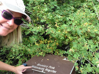


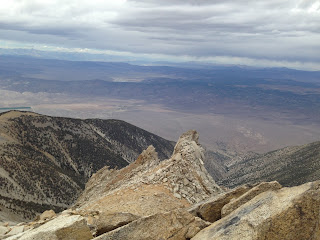


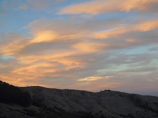



I'm sooo glad Uncle Erick agreed to go with me. Both were long and hard and I doubt anyone else would have persevered for both peaks in one trip! Thank you Uncle :)
ReplyDelete