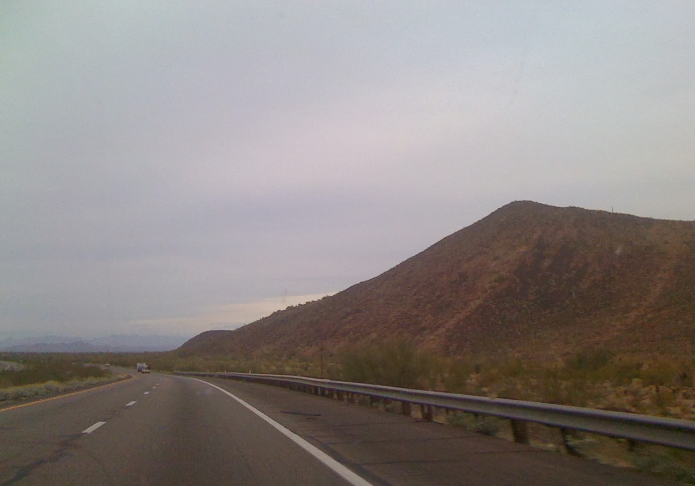
The 6:50 MST start was our earliest of the trip - pre-dawn. We took I-10 W
toward LA. (The distance to LA is 366 miles, but our route would pick
up 1-210 N outside the city.)
As we traveled through Arizona, we saw
named “washes” where in Texas we saw named “draws”. Wash refers an Arroyo (creek), a dry creek bed or gulch that temporarily fills with water after a heavy rain. Draw is a terrain feature formed by two parallel ridges or spurs with low ground in between them. We also saw named ditches in California - I think I know what a ditch is.
Some sights along the way included: miles of flat open desert land advertised as “prime solar property”, the Arizona project canal around mile marker 54, huge RV parks at Quarzsite which is about 20 miles from the California border.
 |
| Entering California via an agriculture inspection station |
We entered California, and 8:45 AM MST became 7:45 AM PST. I sent Erika a text message to let her know that her parents were now in the same state as she – our new home state. We stopped for breakfast and gas in Blythe, CA.
At 9:35 AM PST, we stopped at the Cactus City rest stop to change drivers. We stretched our legs and enjoyed the small garden and nature guides there.
Around Desert Hills, we drove through an area with thousands of wind turbines – large and small. It was 10:25 AM, 59 F with a tiny bit of rain.
By 11:30 AM, we were on I-210 headed
for 1-5 N. At 1:30 PM, both Erick and I felt the need to get out of
the car and walk for awhile. So, we made a short side trip to Pico
Canyon Park (LA County). We walked the trails, snacked, and Erick
took a short nap. It was sunny and 63 F, but windy enough to make it
seem a bit chilly in the shade.
 |
| A trail not taken |
The elevation got increasingly higher –
a 2000 ft marker near Santa Clara and when we stopped for gas at
Gorman at 2 PM, one that read 4000 ft.
Less than a half hour later, we got on
I-5 N toward San Francisco. We were in California's Central Valley. At that point the elevation was a much
lower 250 ft above sea level.
At 3:50 PM PST, we were ready to call
it a day. We pulled into the Best Western at Kettleman City and
crashed. Erick found a few things at a nearby convenience store to
add to our light supper stash. We'd had enough driving (about 500
miles) for one day. The Prius is on the verge of turning over 77,000
miles on the odometer (having already hit 75K and 76K on the trip).
Since leaving Fredericksburg on Wednesday, we've covered 1500 miles.


